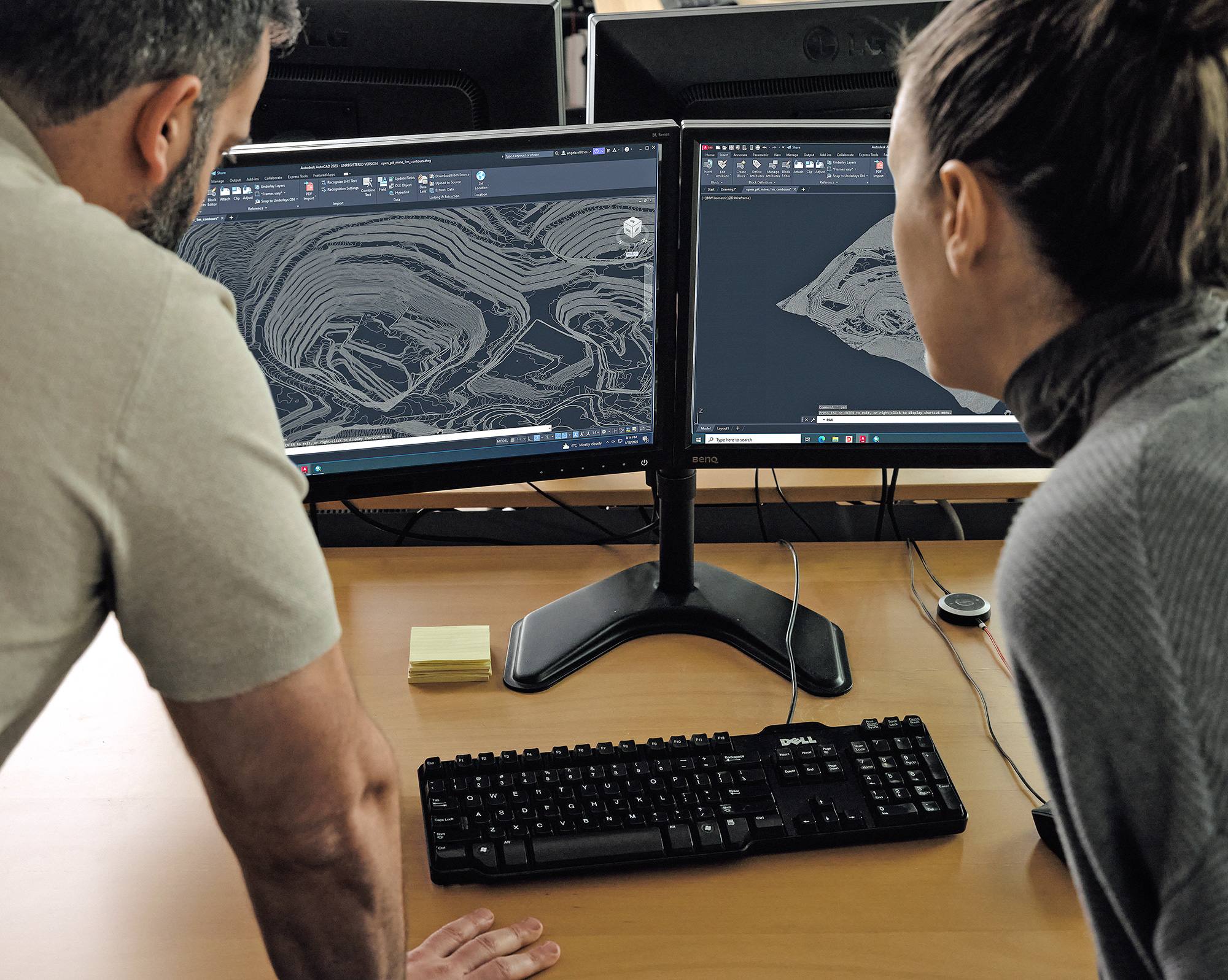
This paper discusses how both publicly and commercially available satellite data can be processed to provide cost-effective and reliable topography and aerial imagery for the monitoring and documentation of the Peñasquito TSF.
Click below:
Golder-paper-satellite-monitoring-large-tailings-storage-facility

